June Day Trip to Brig o'Turk
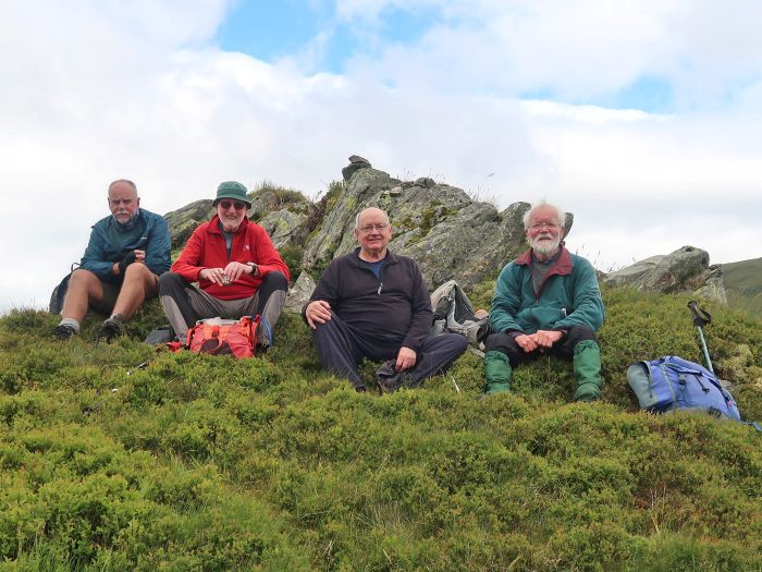
Five walkers and a dog met at the Glen Finglas Visitor Gateway car park for the day walk. To take advantage of the dry, clear weather we decided to climb Stuc Odhar (638m) following the blue circular trail, with the hope of getting some good views from the summit. We were not disappointed.
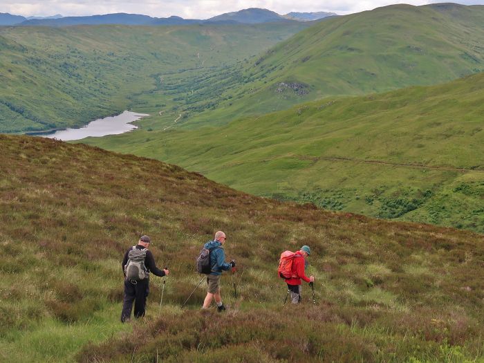
We followed the blue markers, initially through woodland and then steeply up through heather moorland to a deer fence. There was a stile and a doggy gate to get to the other side of the fence for the final steep ascent to the summit but, unfortunately, the doggy gate was too small for Gaius so he and Elena followed the fence and found a proper gate. They started their ascent from there but found it too steep, and returned to the trail and carried on downhill to the track beside the Glen Finglas reservoir.
Meanwhile, the others followed a faint path up the steep heather slopes to the summit. The views from the top were excellent .. we could see the distant Arran Hills and Tinto Hill, as well as the nearer Ben Lomond, Ben More and Stob Binnein. From the summit we descended north-east to pick up a faint ATV track which we followed to the track in Gleann Casaig. From there, we walked to Brig o' Turk and stopped at the tearoom for some rest and refreshment.
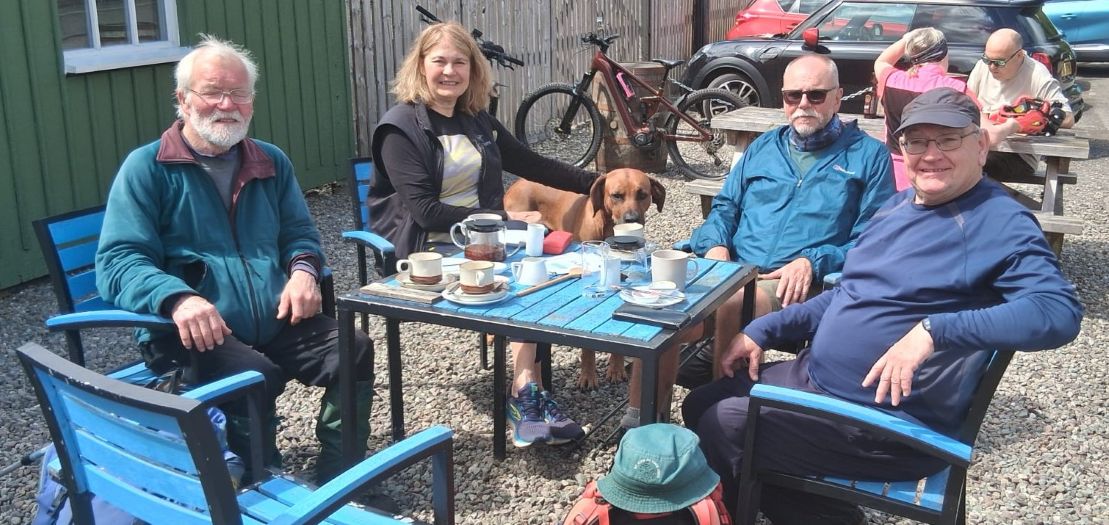
While enjoying our al fresco coffees and scones, Elena drove by. She saw us and came to join us, and said she had been waiting at the car park for us and had tried to phone and send a text but neither had worked, so she decided to head home. With all the loose ends tied up, she continued her drive home and we walked back to the car park by way of the boardwalk through the old curling pond known as the Mires.
It was a good day out on the hills in good weather, with good company and a good refreshment stop to finish.
GPS data : distance 12.2km, total time (including tea room stop) 5hrs 43mins, walking time 3hrs 31mins
Willie Robison

June Weekday Walk to Meikle Bin
Diane, Steven and I met Kenny and Willie at Todholes car park on a bright and sunny morning that promised to get even warmer. Shorts were in order, and after checking and applying sunscreen we set off on the well-signposted route to Meikle Bin.
The first part of the route was fortunately shaded by trees, and when we left the forestry track onto the open hillside there was a pleasant breeze which took the edge off the heat.
Once we reached the summit cairn we had a long and leisurely lunch break attempting to name all the hills visible from this remarkable viewpoint despite its lowly 570m height .. from Ailsa Craig in the west to Bass Rock in the east, and from Tinto and the Galloway hills in the south to Ben Lawers, Ben More and Stob Binnnein in the north.
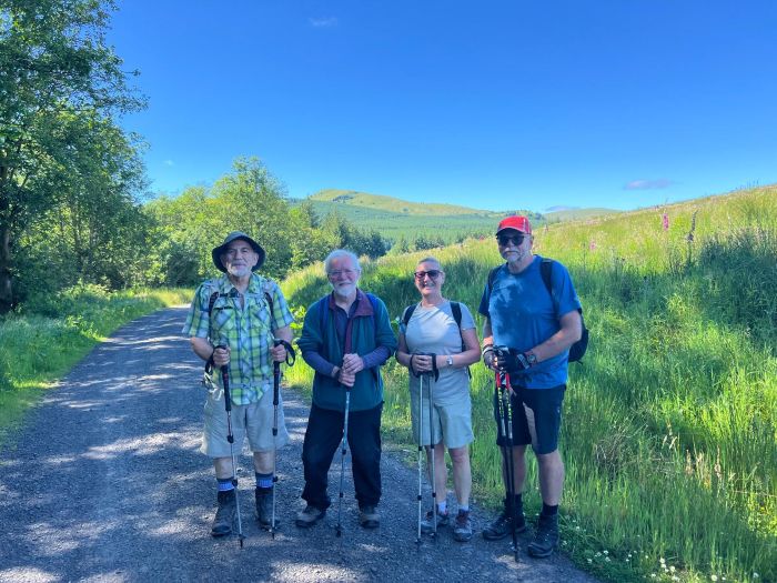
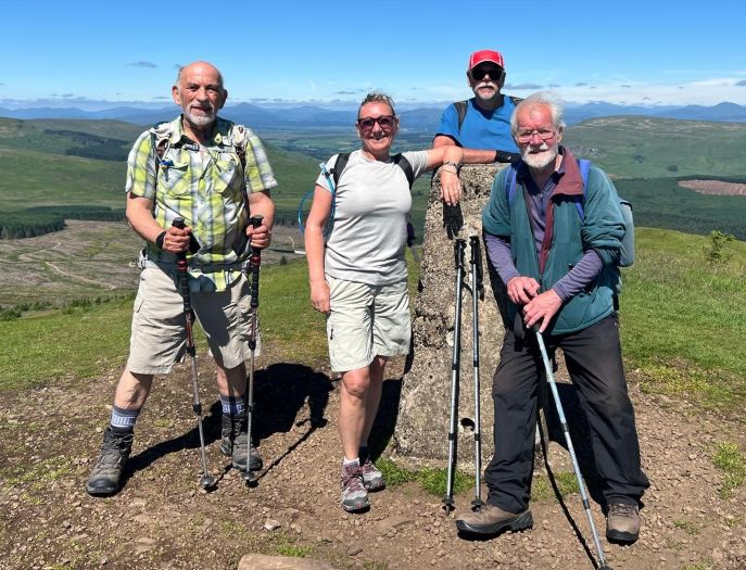
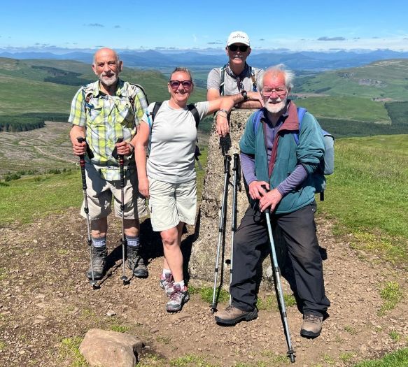

We returned to the cars by our uphill route after a brief visit to the aircraft wreck just below the summit .. a Royal Navy Fairey Firefly plane that crashed on January 8, 1950.
10.6km, 390m ascent, 3 hours
James Anderson


